A new geoarchaeological study has uncovered how Egypt’s Karnak Temple, one of the world’s largest and most iconic ancient religious sites, evolved from a small river island into the grand temple complex that became the spiritual center of Thebes. Published in Antiquity, the study provides the most accurate environmental reconstruction of the temple so far, which links its origins to the dynamic River Nile landscape and even to ancient Egyptian creation myths.
 Karnak Temple’s origins revealed: geoarchaeological study shows how the Nile shaped Egypt’s sacred landscape. Credit: Tizianok / CC BY-SA 3.0
Close to Luxor, about 500 meters to the east of the Nile, the Karnak Temple complex developed over three millennia as the heart of worship for Amun-Ra. Despite decades of excavation, however, its original environmental context and earliest occupation phases remained obscure. The new study, led by Dr. Angus Graham of Uppsala University in collaboration with scientists from the University of Southampton, analyzed 61 sediment cores and thousands of ceramic fragments near the temple to trace the long-term transformation of the site.
The findings show that before around 2520 BCE, the location was perennially flooded with fast-flowing Nile waters and hence could not be habitable. When the river shifted course, an island of higher ground formed between channels, which was a firm foundation for early construction during the Old Kingdom of Egypt. The ceramics of the time around 2300–1980 BCE confirm this as the first phase of the temple.
Over the centuries, the eastern and western branches of the Nile diverged, allowing the temple complex to expand. Researchers were surprised to find that the eastern channel, long thought to be minor, was actually well-defined and possibly larger than the western channel. This challenges previous ᴀssumptions about the growth of the temple and its interaction with the changing topography.
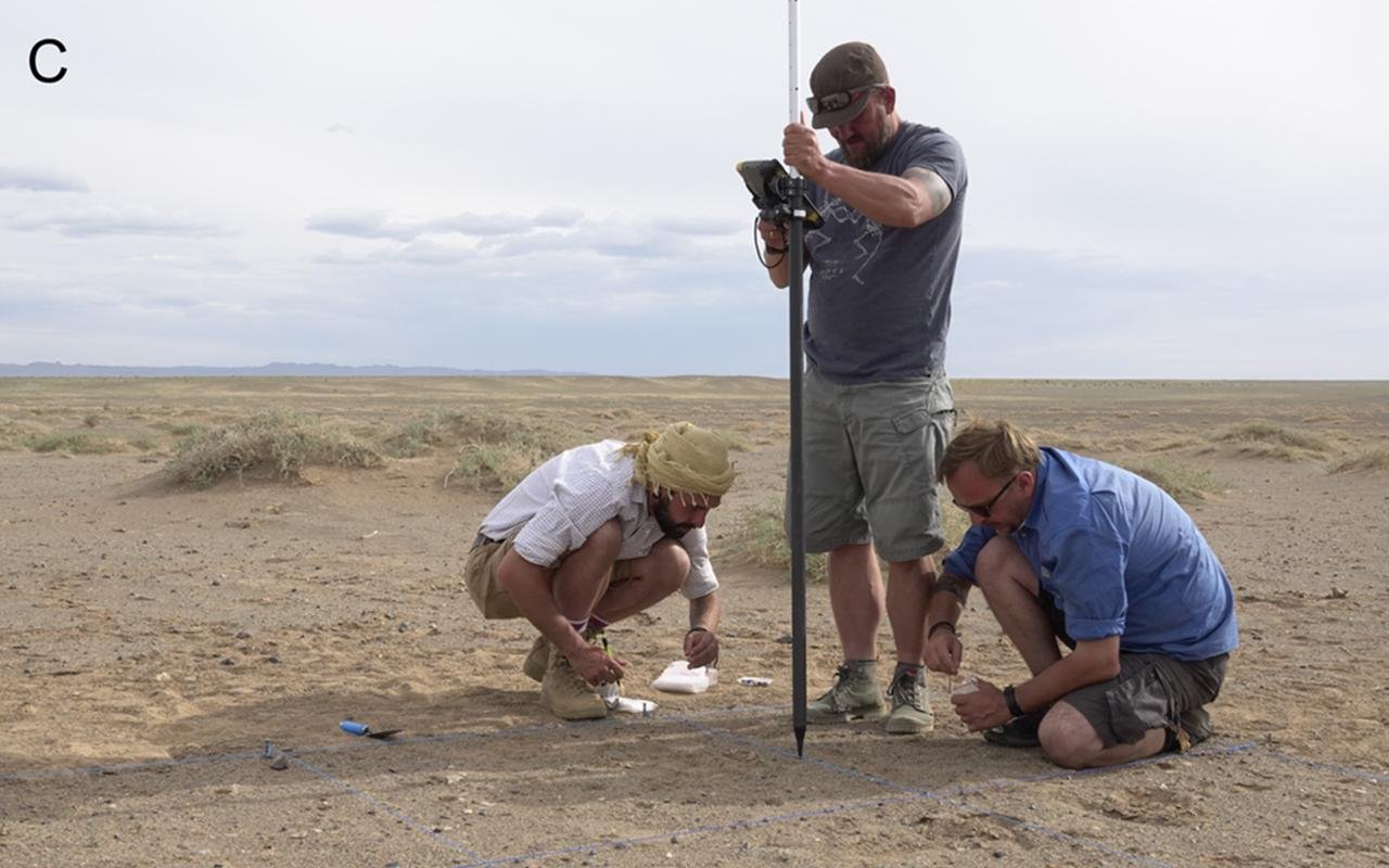
 Core samples being extracted at Karnak. Credit: Dr Ben Pennington / B. T. Pennington et al., Antiquity (2025)
The researchers also found that the ancient Egyptians changed their environment by dumping desert sands into river channels, possibly to provide more land to build and to stabilize foundations. This is an early example of landscape engineering combining practical needs with religious purposes.
The findings of this research mirror the imagery of Egypt’s creation myth, wherein there is a “primeval mound” emerging from the waters of chaos. The natural island that Karnak stood on is the only known high ground surrounded by water in the region of Thebes. Researchers now suspect its location was deliberately selected to reflect this religious symbolism, aligning the temple’s foundation with the myth of creation itself.
 The Precinct of Amun-Re as seen from the Sacred Lake. Taranis-iuppiter / CC BY-SA 3.0
In the Middle Kingdom, religious literature expanded this myth, describing how land had come forth from receding floodwaters. Each year, when the Nile flood retreated around Karnak, the temple mound would have appeared to rise from the water—recreating visually the same myth that inspired its creation.
This new information reframes how archaeologists understand Karnak: not merely as a monumental complex, but as a living landscape that shaped and symbolized ancient Egyptian beliefs. The growth of the temple over 3,000 years reflected a shifting dialogue between people, nature, and the divine.
The team now plans to extend their survey across Luxor’s floodplain in order to reconstruct Thebes’ wider sacred geography.
More information: Pennington, B. T., Graham, A., Mᴀsson-Berghoff, A., Millet, M., Peeters, J., Toonen, W. H. J., … Barker, D. S. (2025). Conceptual origins and geomorphic evolution of the temple of Amun-Ra at Karnak (Luxor, Egypt). Antiquity, 1–15. doi:10.15184/aqy.2025.10185


